Main Page
Indian River Lagoon Project is an information clearinghouse for the Indian River Lagoon National Estuary.
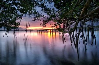
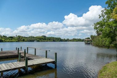
Indian River Lagoon National Estuary spans 181 miles across Florida's East Coast, from Volusia's Halifax River southward to Jupiter Inlet in Palm Beach. The Indian River Lagoon estuary ranges through six Florida counties: Volusia, Brevard, Indian River, St. Lucie, Martin, and Palm Beach.
The Indian River Lagoon watershed includes four brackish water lagoons, five freshwater rivers, five ocean inlets, three National Wildlife Refuges and a National Seashore.
Indian River Lagoon National Estuary is known as "the most bio-diverse habitat in North America" due to the ecosystem's temperate location, varied habitat, and 4,000 plant and animal species.
Indian River Lagoon News
IRLNews gathers articles, editorials and press releases from government, news outlets and social media.
Timeline
Important dates in Indian River Lagoon History
| Name | Crane Creek Project |
|---|---|
| Date | December 14, 2018 |
| Region | Brevard County |
| Water | Central Indian River |
| Description | The Crane Creek M-1 Canal Restoration Project will reduce the flow of nutrients and sediments to the lagoon by returning to the St. Johns River billions of gallons of freshwater flow each year. Major project components include an operable weir located near the natural coastal ridge, a stormwater pump station and a stormwater treatment area to ensure that nutrients and sediments are removed prior to the water’s return to the St. Johns River. |
| Source | Crane Creek M-1 Canal Flow Project |
Indian River Lagoon Library
Our reference Library includes an Encyclopedia, Dictionary, and Document Archive.
Estuary is our reference encyclopedia. It contains educational Indian River Lagoon articles and audio-video media.
Indian River Lagoon Dictionary contains a Glossary of Terms and Definitions.
- Indian River Lagoon Repository archives reference documents for historical preservation.
- Reference Link Directory provides links to references cited in the IRL Encyclopedia.
Bridges and Causeways
View our Indian River Lagoon bridge information at Indian River Lagoon Bridges and Causeways.
| Bridge Name | Road | Water | City | County | FDOT | |
|---|---|---|---|---|---|---|
| Bridge Name | Road | Water | City | County | FDOT | |
| Alma Lee Loy Bridge | CR656 | Central Indian River | Vero Beach | Indian River | 880077 | |
| Canaveral Locks Bridge | SR401 | Banana River | Cape Canaveral | Brevard | 700117 | |
| Eau Gallie Causeway | SR518 | North Indian River | Melbourne | Brevard | 700184 | |
| Ernest Lyons Bridge | A1A | South Indian River | Sewell's Point | Martin | 890158 | |
| Haulover Canal Bridge | SR3 | Mosquito Lagoon | Allenhurst | Brevard | 703004 | |
| Mathers Bridge | SR3 | Banana River | Indian Harbour Beach | Brevard | 704063 | |
| Max Brewer Bridge | SR406 | North Indian River | Titusville | Brevard | 700227 | |
| Merrill Barber Bridge | SR60 | Central Indian River | Vero Beach | Indian River | 880087 | |
| NASA Causeway Indian River | SR405 | North Indian River | Titusville | Brevard | 703001 | |
| Pineda Causeway | SR404 | North Indian River | Melbourne | Brevard | 700143 | |
| Roosevelt Bridge | US1 | Saint Lucie River | Stuart | Martin | 890151 | |
| Sebastian Inlet Bridge | A1A | Central Indian River | Indian River Oaks | Brevard | 880005 | |
| Wabasso Bridge | SR510 | Central Indian River | Wabasso | Indian River | 880051, 880053 |
Bridge Data Table displays National Bridge Inspection data on over 1400 bridges in the IRL watershed.
Web Links
The Web Link Directory contains useful links for the Indian River Lagoon estuary.
Indian River Lagoon Project About
Indian River Lagoon Project is an unaffiliated, nonpartisan, and non-commercial website serving IRL Estuary news, events, and educational resources for Florida's East Coast communities.
More: Indian River Lagoon Project About
Thanks for viewing!
IRLNews


