Indian River Water Body: Difference between revisions
From Indian River Lagoon Project
mNo edit summary |
mNo edit summary |
||
| Line 23: | Line 23: | ||
<references /> | <references /> | ||
</div> | </div> | ||
{{IRL footer estuary|cat= | {{IRL footer estuary|cat=Indian River}} | ||
</div> | </div> | ||
[[Category:Indian River]] | [[Category:Indian River]] | ||
Revision as of 15:14, November 4, 2020
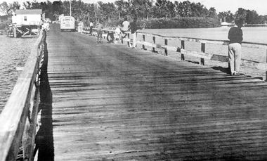
The Indian River lagoon is the largest of the three lagoons in the Indian River Lagoon National Estuary Program. At 121 miles long, the Indian River spans 5 Florida counties. From its northern boundary in Brevard County, the lagoon ranges south through Indian River, St. Lucie and Martin, before reaching it's northern boundary at Palm Beach County's Jupiter Inlet.
Indian River Tributaries
Tributaries are listed from North to South.
Brevard County
- Turnbull Creek
- Haulover Canal
- Gator Creek
- Catfish Creek
- Banana Creek
- Canaveral Barge Canal
- Horse Creek
- Banana River
- Eau Gallie River
- Crane Creek
- Turkey Creek
- Goat Creek
- Kid Creek
- Trout Creek
- Mullet Creek
Indian River County
- Saint Sebastian River
- Sebastian Inlet
St. Lucie County
- Taylor Creek
- Fort Pierce Inlet
- Moores Creek
Martin County
- Saint Lucie River
- Saint Lucie Inlet
Palm Beach County
- Loxahatchee River
- Jupiter Inlet
Site Note:
*Normally a river's course is described in the direction of it's current flow. The Indian River Estuary doesn't have a directional flow, so this website will always describe it's Water Bodies in a north to south direction.
*Lagoons do not have a directional current and some water bodies (tidal marshes, canals and inlets) flow in both directions, so these water bodies are not technically tributaries. However, for this website's purposes, all connecting water bodies regardless of current, may be referred to as tributaries.

