File:IRLNEP Boundary Map.jpg
From Indian River Lagoon Project

Size of this preview: 392 × 599 pixels. Other resolution: 460 × 703 pixels.
Original file (460 × 703 pixels, file size: 64 KB, MIME type: image/jpeg)
Summary
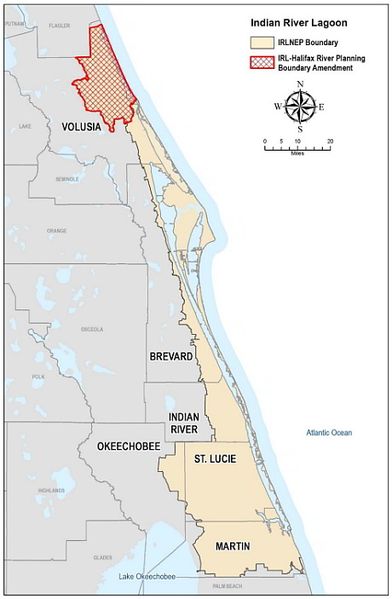
Indian River Lagoon National Estuary Program boundary map with Volusia County addition.
File history
Click on a date/time to view the file as it appeared at that time.
| Date/Time | Thumbnail | Dimensions | User | Comment | |
|---|---|---|---|---|---|
| current | 04:53, April 15, 2021 | | 460 × 703 (64 KB) | Admin (talk | contribs) | Indian River Lagoon National Estuary Program boundary map with Volusia County addition. |
You cannot overwrite this file.
File usage
The following page uses this file: