File:Mathers Bridge Truss Swing Span.jpg
From Indian River Lagoon Project
Size of this preview: 800 × 450 pixels. Other resolution: 1,280 × 720 pixels.
Original file (1,280 × 720 pixels, file size: 111 KB, MIME type: image/jpeg)
Summary
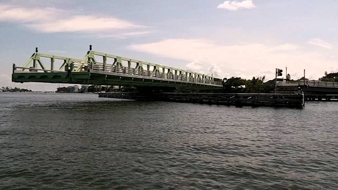
Brevard County's Mathers Bridge (FDOT 704063) spans county road CR3 across the Banana River Lagoon between Merritt Island and Indian Harbour Beach. The bridges pony truss swing span is listed as a Historic American Engineering Record.
See Also
File history
Click on a date/time to view the file as it appeared at that time.
| Date/Time | Thumbnail | Dimensions | User | Comment | |
|---|---|---|---|---|---|
| current | 15:30, November 21, 2020 | | 1,280 × 720 (111 KB) | Admin (talk | contribs) | Brevard County's Mathers Bridge (FDOT 704063) spans county road CR3 across the Banana River Lagoon between Merritt Island and Indian Harbour Beach. The bridges pony truss swing span is listed as a Historic American Engineering Record. ==See Also== * Info:Mathers Bridge * Mathers_Bridge_Historic_Engineering_Record |
You cannot overwrite this file.
File usage
The following page uses this file: