Banana River
The Banana River is one of 3 brackish lagoons in the Indian River Lagoon National Estuary Program
About
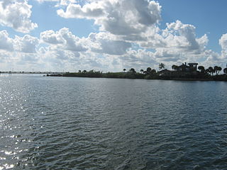
The Banana River is a 31 mile long lagoon that lies between Cape Canaveral and Merritt Island in Brevard County, Florida. The southern end of the Banana River lagoon connects to the Indian River and is part of the Indian River Lagoon Estuary. The Banana River has an outlet to the Atlantic Ocean via a lock into Port Canaveral. Providing habitats for many marine species, the waist deep brackish water lagoon includes salt marshes, mangrove swamps, seagrass beds, drift algae, oyster bars, mud flats, and spoil islands. Commercial and recreational activities in the lagoon generate more than US$ 800 million annually for the local economy.
History
Historically, the Banana River was a continuous waterway that completely separated Merritt Island from Cape Canaveral (which was considered part of the mainland until the construction of the Haulover Canal). In 1964, the Crawlerway was built at Kennedy Space Center, connecting Merritt Island to Cape Canaveral and dividing the Banana River into northern and southern lagoons. Insert some text
Water Body
The smallest of the three National Estuary lagoons, Banana River is bounded by KSC to the north, urbanized North Merritt Island on the west shore, an urbanized barrier island on the east shore and Indian River to the south.
.jpg)
Spotlight
Definition
Video
Web Links
References
Indian River Lagoon Project