Info:Banana Creek: Difference between revisions
From Indian River Lagoon Project
mNo edit summary |
mNo edit summary |
||
| Line 12: | Line 12: | ||
}} | }} | ||
<div class="irlcontentmiddle"> | <div class="irlcontentmiddle"> | ||
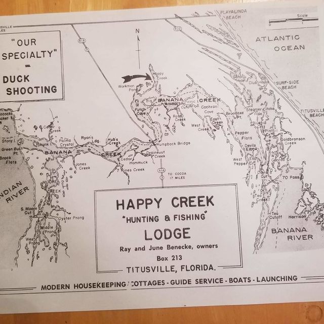
[[File:Banana_Creek_Map_PreKSC.jpg|640px|thumb|left|Banana Creek Map]]</div> | [[File:Banana_Creek_Map_PreKSC.jpg|640px|thumb|left|Banana Creek Map]] | ||
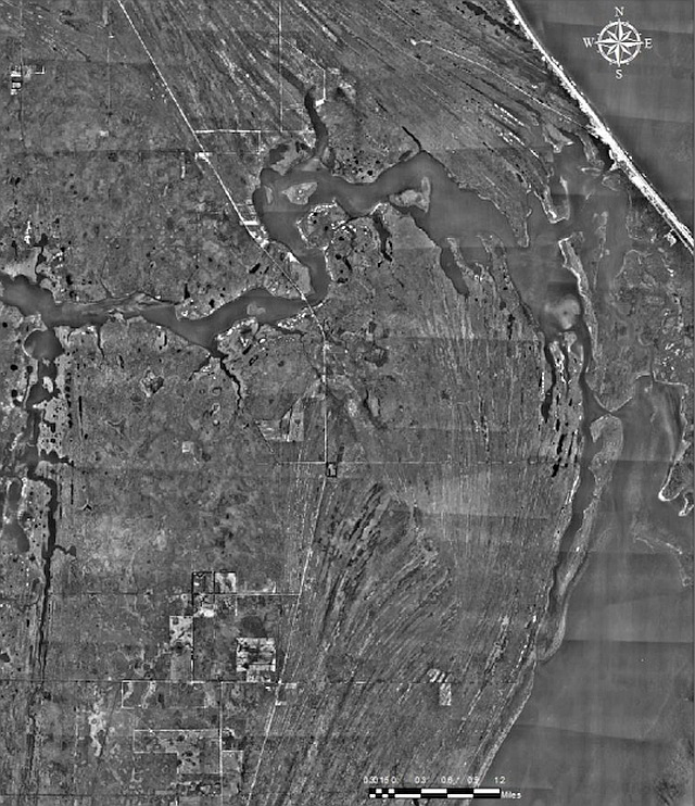
[[File:Banana_Creek_1951_PreKSC.jpg|640px|thumb|left|Banana Creek 1951]] | |||
</div> | |||


