Info:Canaveral Barge Canal East: Difference between revisions
From Indian River Lagoon Project
(Created page with "{{Waterbody |Name=Canaveral Barge Canal East |Type=Canal |Water=Banana River |County=Brevard |Coordinates=28.40942,-80.68977 |Description=Canaveral Barge Canal cuts thru Merri...") |
mNo edit summary |
||
| Line 2: | Line 2: | ||
|Name=Canaveral Barge Canal East | |Name=Canaveral Barge Canal East | ||
|Type=Canal | |Type=Canal | ||
|WBID=3044B | |||
|Water=Banana River | |Water=Banana River | ||
|County=Brevard | |County=Brevard | ||
|Coordinates=28.40942,-80.68977 | |Coordinates=28.40942, -80.68977 | ||
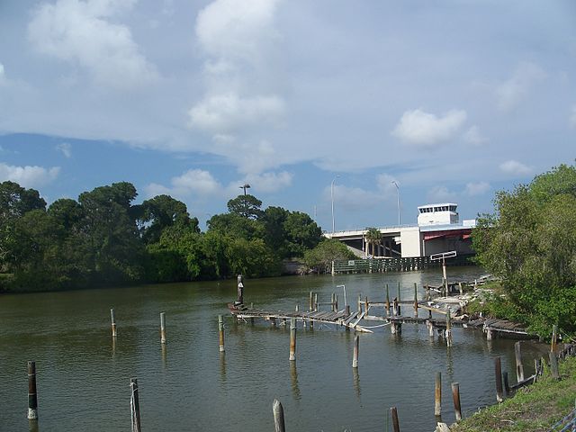
|Description=Canaveral Barge Canal cuts thru Merritt Island, Florida to connect the Banana River and Indian River lagoons. | |Description=Canaveral Barge Canal cuts thru Merritt Island, Florida to connect the Banana River and Indian River lagoons. | ||
|Image=Merritt Island FL barge canal01.jpg | |Image=Merritt Island FL barge canal01.jpg | ||
Latest revision as of 08:54, June 5, 2021
| | |
|---|---|
| Canaveral Barge Canal cuts thru Merritt Island, Florida to connect the Banana River and Indian River lagoons. Canaveral Barge Canal Article | |
| WBID: 3044B | Type: Canal |
| Basin: Banana River | County: Brevard |
Location: 28.40942, -80.68977
| |
