Link:Fish and Wildlife Service National Digital Library: Difference between revisions
From Indian River Lagoon Project
mNo edit summary |
m (Text replacement - "Topic=Conservation" to "Topic=Conservation Links") |
||
| Line 19: | Line 19: | ||
The Maps collection is a selection of geospatial data and information used to visually represent conservation issues by analyzing and modeling for decision support. | The Maps collection is a selection of geospatial data and information used to visually represent conservation issues by analyzing and modeling for decision support. | ||
|Type=Archive | |Type=Archive | ||
|Topic=Conservation | |Topic=Conservation Links | ||
|Subtopic=Educational Material | |Subtopic=Educational Material | ||
|Site Logo=Link-logo-united-states-fish-and-wildlife-service.gif | |Site Logo=Link-logo-united-states-fish-and-wildlife-service.gif | ||
Revision as of 08:21, December 28, 2021
Fish and Wildlife Service National Digital Library
Videos
The Videos collection depicts the outstanding work of our FWS videographers who have produced outreach and instructional tools available for public access and depicts the outstanding work of the U.S. Fish and Wildlife Service and its conservation partners.
Documents
The Documents collection is a selection of reports, brochures, historic texts, oral history transcripts, and other texts.
Audio
The Audio collection is a selection of podcasts and audio files that provide insight into the U.S. Fish and Wildlife Service mission - "working with others to conserve, protect and enhance fish, wildlife, and plants and their habitats for the continuing benefit of the American people".
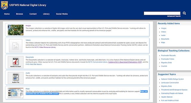
Maps
The Maps collection is a selection of geospatial data and information used to visually represent conservation issues by analyzing and modeling for decision support.
Posted By: AdminPost Date: 2020-11-08