Info:Indian River: Difference between revisions
From Indian River Lagoon Project
mNo edit summary |
mNo edit summary |
||
| (6 intermediate revisions by the same user not shown) | |||
| Line 2: | Line 2: | ||
|Name=Indian River | |Name=Indian River | ||
|Type=Lagoon | |Type=Lagoon | ||
|WBID=2963B1 | |||
|Water=Indian River | |Water=Indian River | ||
|County=Brevard | |County=Brevard | ||
|Coordinates=28. | |Coordinates=28.15337, -80.62511 | ||
|Description=Indian River (Rio de Ais) is a 121 mile long | |Description=Indian River (''Rio de Ais'') is a 121 mile long lagoon spanning five counties on Florida's East Coast. From it's northern boundary in Brevard County, the lagoon ranges south through Indian River, St. Lucie and Martin, to it's southern boundary at Jupiter Inlet in Palm Beach County. Indian River is the largest lagoon basin in the Indian River Lagoon National Estuary. | ||
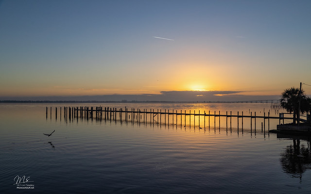
|Image=Indian River Lagoon Sunrise MLB.jpg | |Image=Indian River Lagoon Sunrise MLB.jpg | ||
|Article=Indian River | |Article=Indian River | ||
Latest revision as of 14:24, June 5, 2021
Indian River | |
|---|---|
| Indian River (Rio de Ais) is a 121 mile long lagoon spanning five counties on Florida's East Coast. From it's northern boundary in Brevard County, the lagoon ranges south through Indian River, St. Lucie and Martin, to it's southern boundary at Jupiter Inlet in Palm Beach County. Indian River is the largest lagoon basin in the Indian River Lagoon National Estuary. Indian River Article | |
| WBID: 2963B1 | Type: Lagoon |
| Basin: Indian River | County: Brevard |
Location: 28.15337, -80.62511
| |
