Info:Banana River: Difference between revisions
From Indian River Lagoon Project
mNo edit summary |
mNo edit summary |
||
| (3 intermediate revisions by the same user not shown) | |||
| Line 2: | Line 2: | ||
|Name=Banana River | |Name=Banana River | ||
|Type=Lagoon | |Type=Lagoon | ||
|WBID=3057B | |||
|Water=Banana River | |Water=Banana River | ||
|County=Brevard | |County=Brevard | ||
|Coordinates=28.44858, -80.62544 | |Coordinates=28.44858, -80.62544 | ||
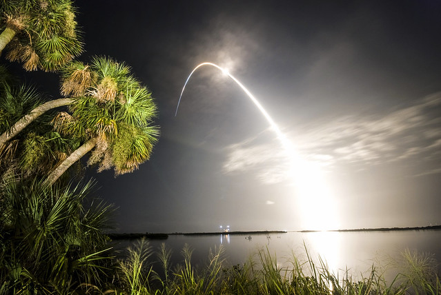
|Description=Lying entirely within Brevard County, 31 mile long, 30,000 acre Banana River | |Description=Lying entirely within Brevard County, 31 mile long, 30,000 acre Banana River is the smallest lagoon basin in the Indian River Lagoon National Estuary. | ||
|Image=Banana River 001.jpg | |Image=Banana River 001.jpg | ||
|Article=Banana River | |Article=Banana River | ||
Latest revision as of 09:56, June 5, 2021
Banana River | |
|---|---|
 | |
| Lying entirely within Brevard County, 31 mile long, 30,000 acre Banana River is the smallest lagoon basin in the Indian River Lagoon National Estuary. Banana River Article | |
| WBID: 3057B | Type: Lagoon |
| Basin: Banana River | County: Brevard |
Location: 28.44858, -80.62544
| |
Web Links
Banana River Aquatic Preserve