Info:Indian River: Difference between revisions
From Indian River Lagoon Project
mNo edit summary |
mNo edit summary |
||
| Line 4: | Line 4: | ||
|Water=Indian River | |Water=Indian River | ||
|County=Brevard | |County=Brevard | ||
|Coordinates=28. | |Coordinates=28.15337, -80.62511 | ||
|Description=Indian River (Rio de Ais) is a 121 mile long brackish water lagoon spanning five counties on Florida's East Coast. Indian River is the largest of the four lagoonal basins in the Indian River Lagoon National Estuary watershed. | |Description=Indian River (Rio de Ais) is a 121 mile long brackish water lagoon spanning five counties on Florida's East Coast. Indian River is the largest of the four lagoonal basins in the Indian River Lagoon National Estuary watershed. | ||
|Image=Indian River Lagoon Sunrise MLB.jpg | |Image=Indian River Lagoon Sunrise MLB.jpg | ||
Revision as of 06:34, May 21, 2021
Indian River | |
|---|---|
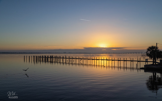 | |
| Indian River (Rio de Ais) is a 121 mile long brackish water lagoon spanning five counties on Florida's East Coast. Indian River is the largest of the four lagoonal basins in the Indian River Lagoon National Estuary watershed. Indian River Article | |
| WBID: | Type: Lagoon |
| Basin: Indian River | County: Brevard |
Location: 28.15337, -80.62511
| |