Link:Merritt Island National Wildlife Refuge: Difference between revisions
From Indian River Lagoon Project
mNo edit summary |
mNo edit summary |
||
| Line 6: | Line 6: | ||
|Site Logo=link-logo-merritt-island-national-wildlife-refuge.png | |Site Logo=link-logo-merritt-island-national-wildlife-refuge.png | ||
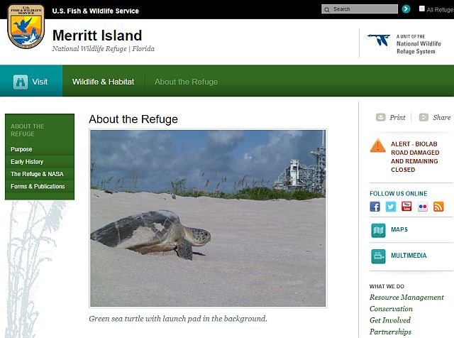
|Screenshot=link-screenshot-merritt-island-national-wildlife-refuge.jpg | |Screenshot=link-screenshot-merritt-island-national-wildlife-refuge.jpg | ||
|Topic= | |Topic=Place | ||
|Coordinates=28.64142, -80.73571 | |Coordinates=28.64142, -80.73571 | ||
|Subtopic=Brevard County Locale, Park, National Park, Wildlife Sanctuary, Fishing, Sightseeing, Scenic Drive, Wildlife Encounter, Bird Watching, Manatee Watching | |Subtopic=Brevard County Locale, Park, National Park, Wildlife Sanctuary, Fishing, Sightseeing, Scenic Drive, Wildlife Encounter, Bird Watching, Manatee Watching | ||
Revision as of 10:33, November 15, 2019
In 1962, NASA acquired 140,000 acres of land, water, and marshes adjacent to Cape Canaveral to establish the John F. Kennedy Space Center. NASA built a launch complex and other space-related facilities, but development of most of the area was not necessary. In 1963 the U.S. Fish and Wildlife Service signed an agreement to establish the refuge and in 1975 a second agreement established Canaveral National Seashore. Today, the Department of Interior manages most of the unused portions of the Kennedy Space Center as the Merritt Island National Wildlife Refuge and Playalinda National Seashore.
Coordinates: (28.64142, -80.73571)
Posted By: AdminPost Date: 2024-11-23
[[Category:]]

